
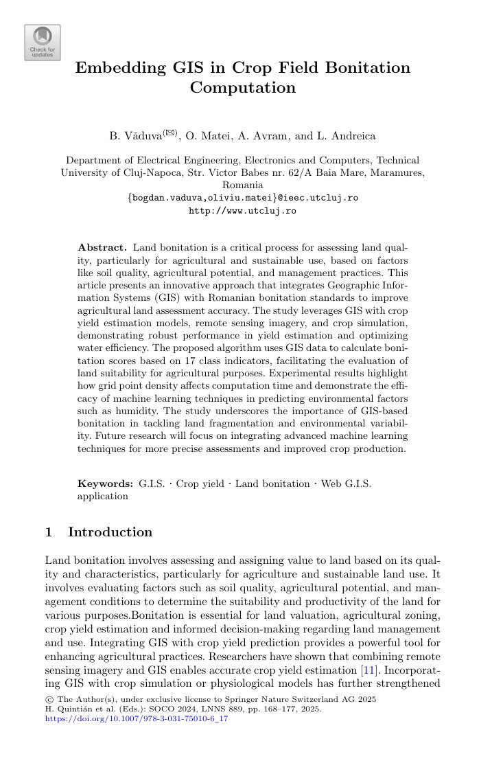
Embedding GIS in crop field bonitation computation
Embedding GIS in crop field bonitation computation
Bogdan Văduva, Oliviu Matei, Anca Avram, Laura Andreica
Abstract. Crop field bonitation, the agronomic evaluation of land quality and agricultural potential, traditionally relies on tabular indicators that ignore the rich spatial context of each parcel. This paper presents an approach for embedding Geographic Information Systems (GIS) directly into the bonitation computation pipeline. By combining cadastral information, soil maps, topography and climate data within a GIS environment, the system computes spatially aware bonitation scores at the level of individual fields. The proposed integration improves the accuracy of land evaluation, supports precision crop matching and provides a flexible basis for further machine-learning-enhanced bonitation frameworks.
Keywords: GIS; land bonitation; soil quality; precision agriculture; spatial analysis
📋 Cite this publication
Bogdan Văduva, Oliviu Matei, Anca Avram, Laura Andreica, "Embedding GIS in crop field bonitation computation", Proc. 19th SOCO Int. Conf. on Soft Computing Models in Industrial and Environmental Applications, Springer, 2024, 2023.
Reference: Proc. 19th SOCO Int. Conf. on Soft Computing Models in Industrial and Environmental Applications, Springer, 2024.
A comparative study of different genetic algorithms approaches to capacitated vehicle routing problem for collection of agricultural products
A comparative study of different genetic algorithms approaches to capacitated vehicle routing...
Using Machine Learning for Identifying the Intrinsic Economic Specializations of Localities
Using Machine Learning for Identifying the Intrinsic Economic Specializations of LocalitiesOliviu...
A comparative study of machine learning models for plant disease identification
A comparative study of machine learning models for plant disease identificationMăcelaru Mara,...
A Novel CNN Approach for Accurate Tomato Disease Classification
A Novel CNN Approach for Accurate Tomato Disease ClassificationOvidiu Cosma, Laura Cosma Abstract....
Evaluation of Feature Selection Methods in Estimation of Precipitation Based on Deep Learning Artificial Neural Networks
Precipitation is the most important element of the water cycle and an indispensable element of water resources management. This paper aims to model the monthly precipitation in 8 precipitation observation stations. The effects and role of different feature weights pre-processing methods (Weight by deviation, Weight by PCA, Weight by correlation, and Weight by Support Vector Machine) on artificial intelligence modeling were investigated.
A Comparison of different crossover operators in genetic algorithms for clusters shortest-path tree problem
The clustered shortest-path tree (CluSPT) problem is an extension of the classical shortest path problem, given a graph with the nodes partitioned into several mutually exclusive and collectively exhaustive clusters looks for a shortest-path spanning tree from a predefined source node to all the other nodes of the graph, with the property that every cluster should generate a connected subgraph.
A comprehensive survey on the generalized traveling salesman problem
The generalized traveling salesman problem (GTSP) is an extension of the classical traveling salesman
problem (TSP), and it is among the most researched combinatorial optimization problems due to its theoretical properties, complexity aspects, and real-life applications in various areas: location-routing problems, material flow design problem, distribution of medical supplies, urban waste collection management, airport selection and routing the courier airplanes, image retrieval and ranking, digital garment manufacturing, etc.
A hybrid based genetic algorithm for solving the clustered generalized traveling salesman problem
We study the clustered generalized traveling salesman problem (CGTSP), which is an extension of the generalized traveling salesman problem (GTSP), which in turn generalizes the well-known traveling salesman problem (TSP).

0 Comments