
Land Bonitation Platform
Interactive GIS application for adaptive land bonitation, developed within COSA Use Case 1.

About the platform
The Land Bonitation Platform is an interactive GIS application developed within COSA Use Case 1. It operationalises the GIS-driven, machine-learning-enhanced framework for adaptive land bonitation published by the COSA team in Agriculture (MDPI, Q1, 2025).
The platform allows users to dynamically evaluate the agronomic potential of agricultural parcels based on pedological, topographical and climatic data. It supports precision crop matching, dynamic adaptation to changing climate and soil conditions, and sustainable land management decisions.
Key capabilities
- Parcel-level land bonitation with dynamic scoring.
- Integration of cadastral information with soil and climate data.
- Crop suitability and management recommendations.
- GIS visualisation of bonitation results across regions.
Demo access
The platform is publicly accessible. A demo account has been provisioned for evaluation purposes:
- URL: bonitareaterenurilorgis.andreibancos.com
- Demo account:
usecase1@bonitare.com/Te$t1234
Open the Land Bonitation Platform →
Team and partner
Lead developer: Andrei Bancoș. Research team: Bogdan Văduva, Anca Avram, Oliviu Matei, Laura Andreica, Teodor Rusu. Industrial partner: Vital.
Related publications
- B. Văduva, A. Avram, O. Matei, L. Andreica, T. Rusu, «A GIS-Driven, Machine Learning-Enhanced Framework for Adaptive Land Bonitation,» Agriculture (Basel), MDPI, 2025. (Q1)
- B. Văduva, O. Matei, A. Avram, L. Andreica, «Embedding GIS in crop field bonitation computation,» SOCO 2024.
Publications related to Land Bonitation Platform
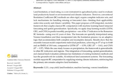
A GIS-Driven, Machine Learning-Enhanced Framework for Adaptive Land Bonitation
A GIS-Driven, Machine Learning-Enhanced Framework for Adaptive Land BonitationBogdan Văduva, Anca Avram, Oliviu Matei, Laura Andreica, Teodor Rusu Abstract. Traditional land bonitation, the agronomic evaluation of land quality and agricultural potential, often relies...
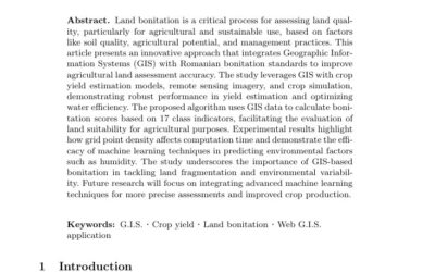
Embedding GIS in crop field bonitation computation
Embedding GIS in crop field bonitation computationBogdan Văduva, Oliviu Matei, Anca Avram, Laura Andreica Abstract. Crop field bonitation, the agronomic evaluation of land quality and agricultural potential, traditionally relies on tabular indicators that ignore the...